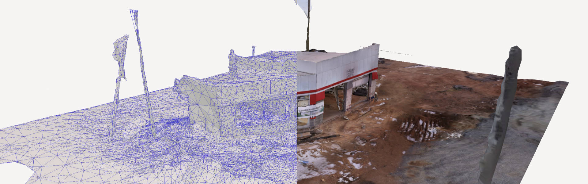
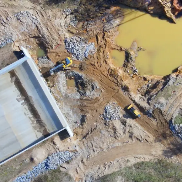
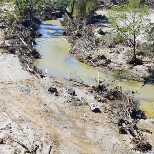
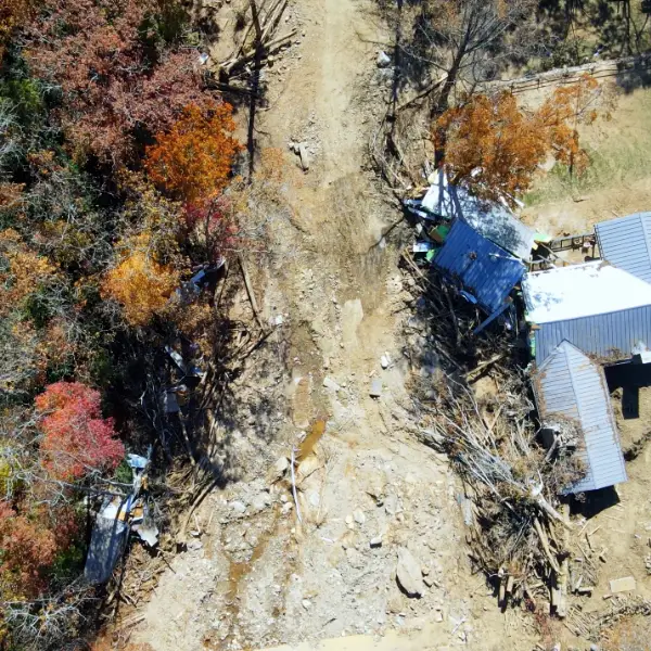
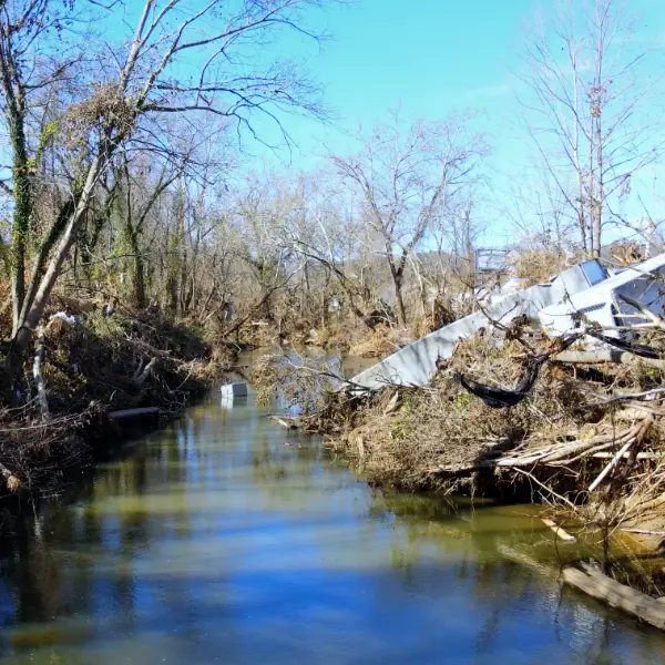
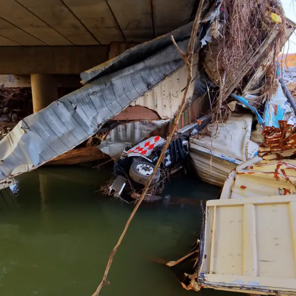
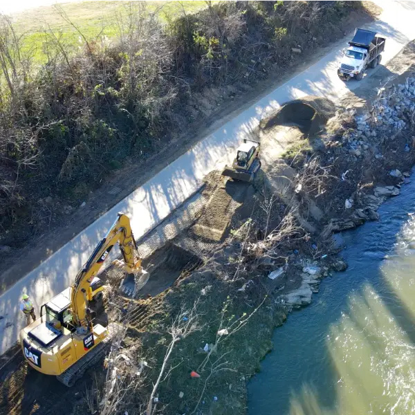
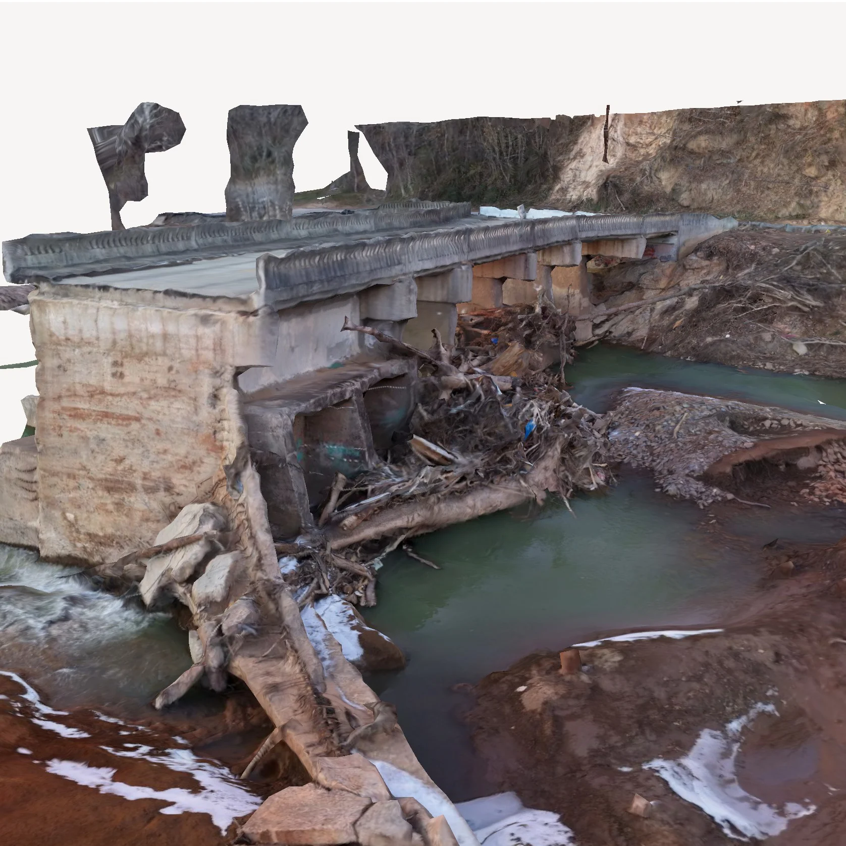
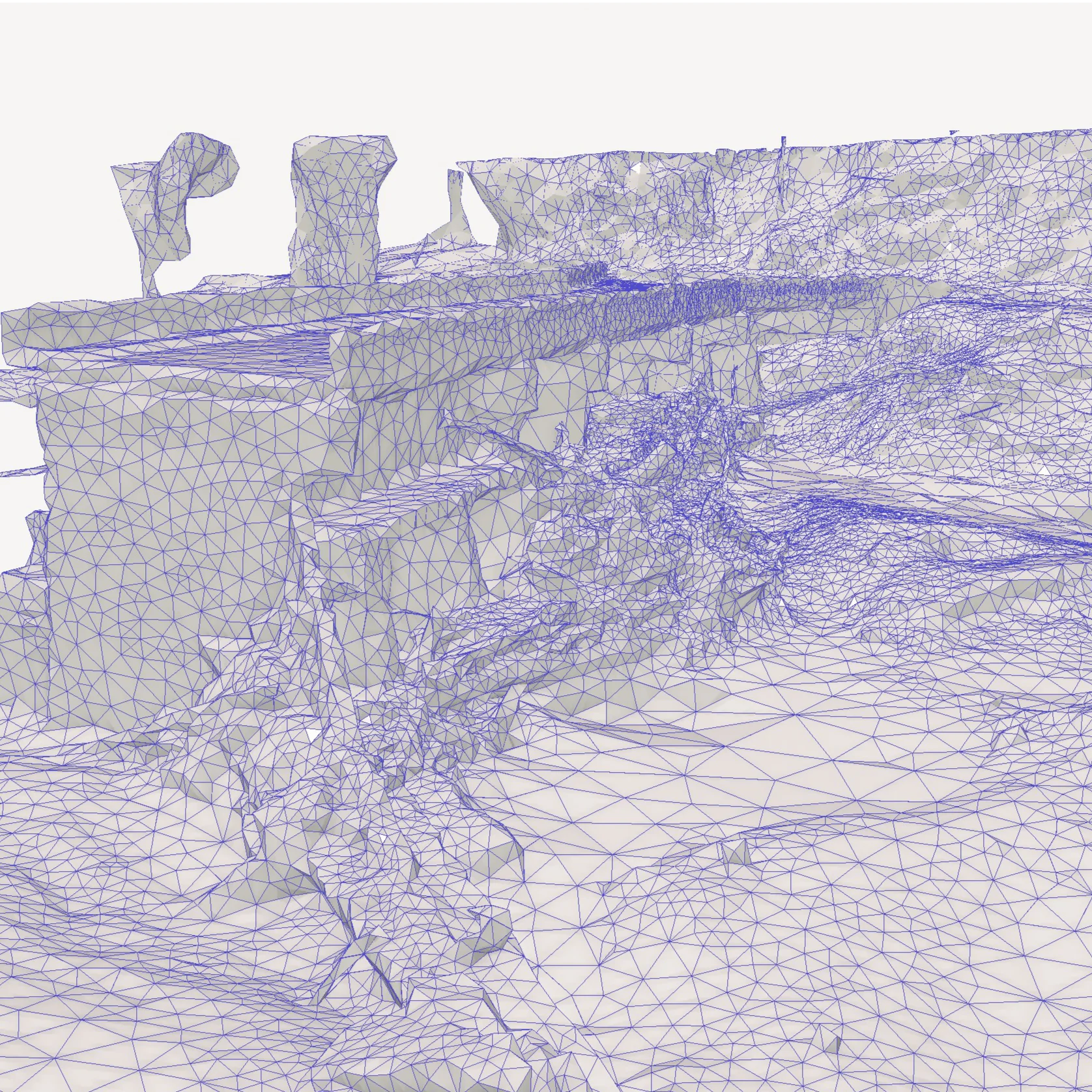
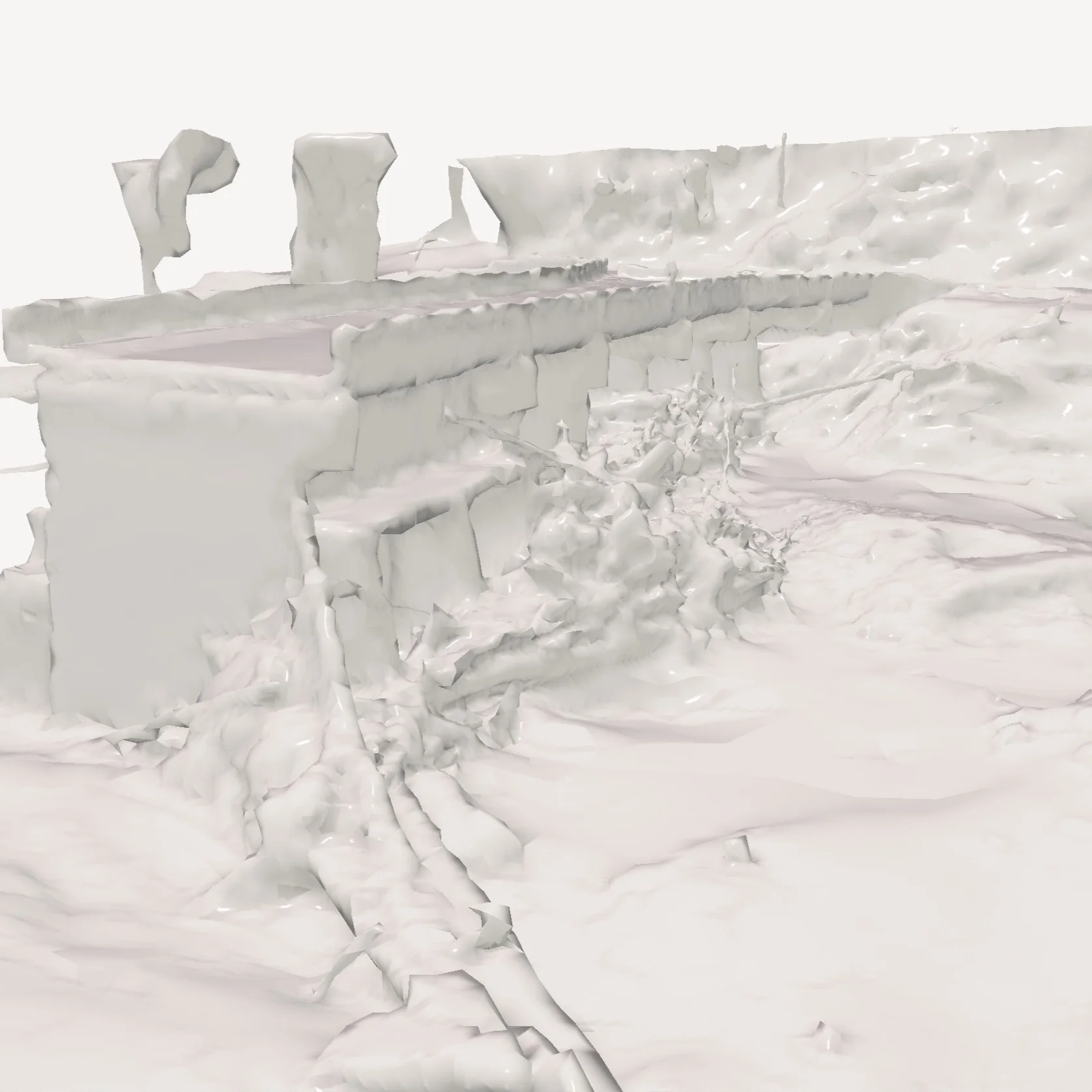
Orthomosaic drone services for accurate visualization, mapping, and modeling of landscapes and structures. Detailed geo-referenced models provide unparalleled insights for planning and monitoring projects across many industries.
Aerial data analysis to estimate debris volumes, types, and geographic distribution. Actionable insights for debris management planning and decision-making.
Construction progress reporting drone services to monitor and document construction projects. Regularly scheduled aerial imagery and videos to provide up-to-date and measurable progress reports to project stakeholders.
Available for onsite filming and mapping projects, including short and long-term engagements. Located in Western North Carolina. Available for nationwide engagements.
Reach out to explore how aerial imaging can improve the safety, efficiency, and profitability of you next project.
UAV operators and team leads with field experience in disaster zones, commercial construction, and media.