Drone Imaging Services in Western North Carolina
Delivering drone service across Western North Carolina, including ground mapping and 3D structural modeling.
About Us
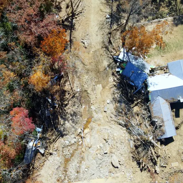
Centrally located in Black Mountain, NC, we have quick access to the entire WNC region. Since Hurricane Helene, our focus has narrowed in on the recovery and rebuilding of our North Carolina economy and communities.
While we’re available to deliver the full spectrum of aerial imaging services, our interests and expertise are aimed at disaster clean-up, construction, engineering projects, our local farms and businesses, and community rebuilding efforts.
Drone Services:
We provide a full range of aerial and ground-based services in the Asheville and surrounding areas, including:
- Aerial Drone Photography and Videography – Capturing stunning visuals from above for marketing, events, and more.
- Ground Mapping – Delivering precise property layouts and landscape overviews.
- Orthomosaic Mapping – Improving communication, planning construction phases, record keeping, progress monitoring, and sharing project updates.
- 3D Modeling – Creating detailed, interactive models for planning and development.
- Photogrammetry Models – interpreting photographic images and patterns
- Construction Site Monitoring – Documenting progress and offering insights for efficient management.
- Event Coverage – Capturing dynamic aerial views for personal and professional events.
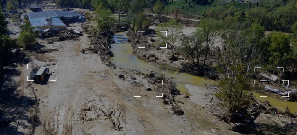
Orthomosaic Mapping
An orthomosaic is a detailed, high-resolution image of an area, created by merging multiple photos into a seamless, accurate representation. These images are widely used in various fields, including construction for site visualization, public safety for documenting high-traffic locations, and civil engineering for monitoring large-scale projects like beach restoration.
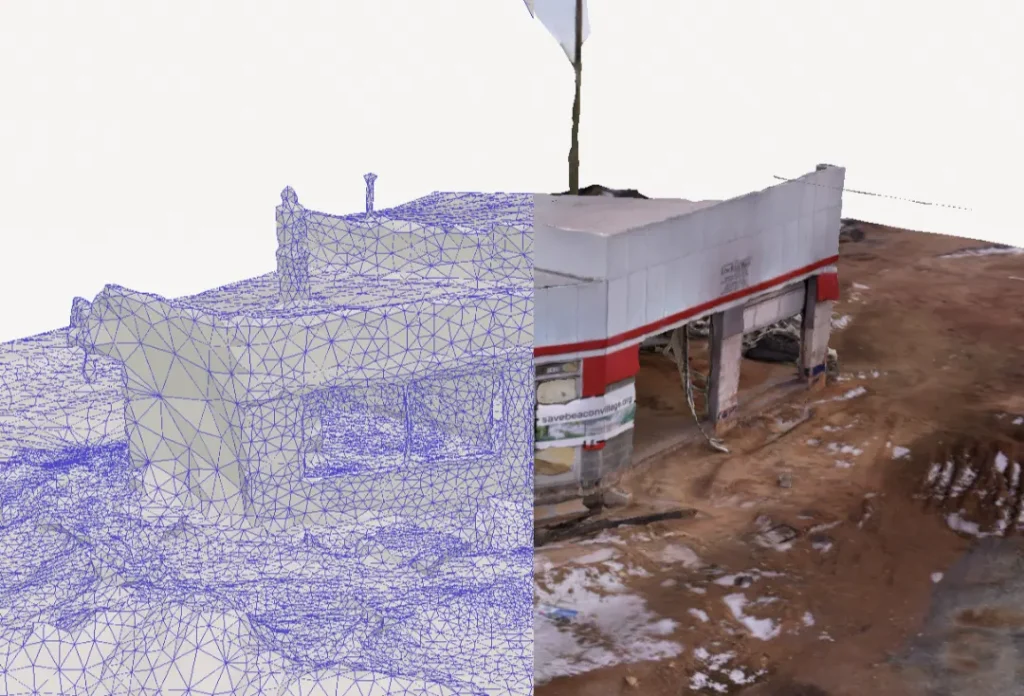
3D Modeling
We provide high-precision 3D modeling services using professional drone technology. Our advanced aerial imaging and photogrammetry techniques capture detailed spatial data to create accurate, high-resolution 3D models tailored to your specific needs.
Drone 3D Modeling Services:
- Construction & Site Planning – Generate precise models for project planning, progress tracking, and as-built documentation.
- Real Estate & Architecture – Create immersive 3D representations of properties for marketing, design visualization, and renovation planning.
- Land Surveying & Mapping – Obtain highly accurate topographic models for land development, environmental assessments, and infrastructure projects.
- Industrial Inspections – Use 3D models for structural assessments, asset management, and maintenance planning.
With our expertise in aerial data collection and 3D rendering, we deliver models that enhance decision-making, improve project efficiency, and provide valuable insights. Whether you need a digital twin of a construction site, a virtual walkthrough of a property, or a precise terrain model, our team ensures top-quality results with cutting-edge drone technology.
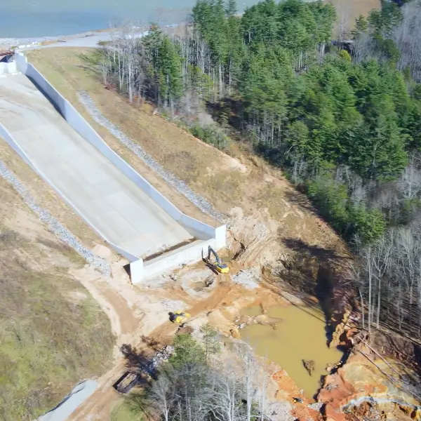
Drone Construction Site Monitoring
Drones provide fast, cost-effective site monitoring, enhancing oversight, safety, and efficiency. High-resolution aerial imagery and 3D models improve progress tracking, planning accuracy, and resource allocation. Remote inspections reduce risks, while automated data collection saves time and costs. Drones also enhance communication, ensure regulatory compliance, and provide verifiable project documentation.
Thank you for your thoughtful and thorough coverage of our property. We have learned much more than we expected, and now have documented evidence needed for insurance and state inquiries.
Western North Carolina Organization - imapacted by Hurricane Helene
Local Insight, Aerial Perspective
We love working with and for our Western North Carolina and Asheville area neighbors. We have every incentive to knock each and every project out of the park. Give us a call or send a message to explore your next project that would benefit from our local insight and an aerial drone perspective.